Maps & Atlases
Explore our reviews of maps and atlases, covering road maps, world atlases, topographic charts, and travel guides. Perfect for road trippers, hikers, educators, and geography enthusiasts, this category helps you find the best print and digital mapping resources to navigate confidently, plan adventures, and discover the world around you.
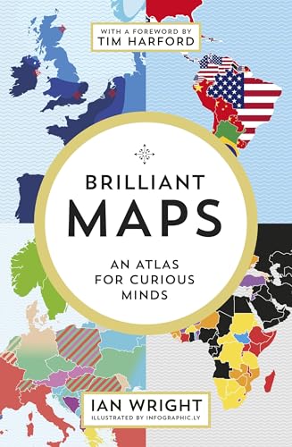
Brilliant Maps Atlas
- Format: Hardcover coffee table book with full-color maps throughout
- Content: Over 100 unique and unconventional maps covering topics f...
- Dimensions: Approximately 19 x 24 cm, compact enough for casual browsing

Great Britain A-Z Super Scale Atlas 2026
- Format: A3 large-format pages for enhanced readability on the road
- Binding: Spiral bound, allowing the atlas to lie flat and stay ope...
- Coverage: Comprehensive road mapping of England, Scotland, and Wales

Philip's RGS World Atlas
- Format: A4 paperback atlas, easy to handle and store on a standar...
- Coverage: Comprehensive world mapping including continents, countri...
- City Maps: Dedicated plans for major global cities, providing street...

Philip's Big Easy Read Atlas
- Format: A3 spiral-bound, allowing the atlas to lie flat and stay ...
- Coverage: Comprehensive mapping of Great Britain including England,...
- Map Scale: Large-scale mapping for easy readability, with urban area...

Times Desktop Atlas of the World
- Coverage: Complete world coverage including political maps, physica...
- Map Detail: High-resolution cartography with clear labeling, color-co...
- Format: Large desktop-format hardcover designed for ease of use o...

Great Britain A-Z Road Atlas 2026
- Format: A5 spiral-bound atlas that lies flat when open, ideal for...
- Coverage: Comprehensive road mapping of Great Britain including maj...
- Edition: 2026 edition with updated road data to reflect recent inf...

Philip's Big Easy Trucker's Road Atlas
- Bridge Coverage: Over 4,000 bridges mapped with height and weight restrict...
- Format: A3 spiral-bound for easy page-turning and flat lay use in...
- Readability: Large-print mapping with bold road numbering and high-con...

Collins 2026 Big Road Atlas Europe
- Format: A3 size with spiral binding for flat, hands-free use whil...
- Coverage: Comprehensive mapping of European countries including maj...
- Map Detail: Clear and detailed cartography with readable fonts, road ...